Wimbledon
Wednesday, 22nd June 2005 by Alex Turnbull
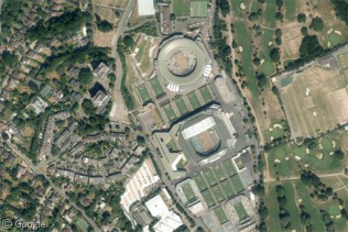
This is Wimbledon, or rather the 'All England Lawn Tennis and Croquet Club' in London, where 'The Championships' are currently underway. Play started yesterday and is set to continue for the next two weeks (although sometimes the tournament runs longer if it rains a lot, which isn't uncommon in these parts...)
Wimbledon is the oldest and most prestigious event in the sport of tennis, and is the third Grand Slam tournament played each year, after the Australian and French Opens, and before the US Open. The tournament is the only one of the Grand Slam events to be played on grass (although in these images the grass is currently covered for protection from the elements).
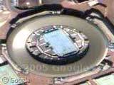
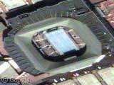
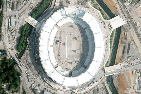
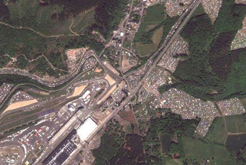
Our first thumbnail is of the Number One court. Although the angle makes it look oval, it is in fact round. Incidentally, some of you have commented on the increased distortion visible in the imagery of the non U.S. locations; this seems to be because these are true satellite images, and not aerial photography. Thumbnail #2 is of Centre Court where the finals will be played.
There's lots more about Wimbledon at Wikipedia, and the official site has a good tour of the grounds.
I wonder when Tim Henman will get knocked out this year? 😉
Thanks to neil, Nicholas Moline, Seph, Devin Crowe, Adam S and probably loads of others by now!
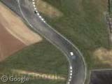
I don’t think its an issue of ‘true satellite imagery’, but rather than europe is farther north than most of the sites in the US. Google maps does not correct for this distortion introduced by placing a round globe on a square map, and so things get stretched by a larger factor the closer to the poles you get. The distortion is present on both the maps and the images. Check out View Placemark for a great example, which I stole off some clever person at slashdot. If you check out the same site on mapquest, you see can really see the distortion.
stm is correct. In order to simplify presentation, zooming, and panning, Google Maps uses a rectangular projection when showing satellite imagery. This projection distorts images more the further you get from the equator.
Note that if you switch to the “Map” view in Google Maps itself, this same distortion is not apparent.
Luckily for us, it happened) Tim Henman is already out.