Death Valley (Desert Week 2)
Friday, 19th June 2009 by Alex Steinberger
Welcome to the second annual GSS Desert Week! In time-honoured tradition, we’ll mostly be posting about deserts. For about a week!
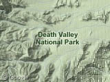
Death Valley National Park, part of the greater Mojave Desert, is an expansive 13,630 square kilometre natural preserve located on the border between California and Nevada. As its name would suggest, the valley has a climate that is most inhospitable to human settlement, but attracts over 700,000 visitors annually. It also holds the triple honour of being the hottest, driest, and lowest (in altitude) place in North America.
The valley's floor receives an average annual rainfall of around 4 cm and lies predominantly below sea level. Its unique location between the Sierra Nevada Mountains and the Amargosa Range allows temperatures to regularly rise above 40°C in the summer months. In fact, the hottest temperature ever observed in the Western Hemisphere was recorded at Death Valley1 in 1913 when the mercury hit 56.7 degrees Celsius!
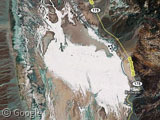
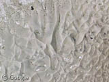
Badwater Basin, pictured below, is a broad salt flat located at the southern end of the park. At 85.5 metres below sea level, it is the lowest point in the valley and in all of North America!
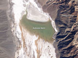
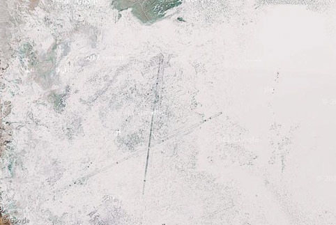
Given its low altitude, the basin drains a large area and can actually become a full-blown lake on rare occasions. Above right we see a Landsat-5 satellite image from back in February of 2005 when unusually high rainfall filled the basin for several days creating a salt lake.
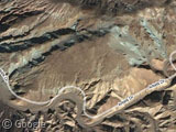
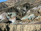
Just a few miles up the valley you can clearly make out the colourful rock formations that make up another Death Valley attraction known as Artist's Palette.
Along a stretch of road known as Artist's Drive, a rich spectrum of colours can be seen in a relatively isolated space. The variation of red, pink, yellow and green hues are caused by the oxidation of different metals within the rock.
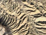
Toward the northern end of the park, Death Valley's diverse topography can be seen in many different stages of wind erosion.
On the left, Zabriske Point overlooks an extreme erosional landscape composed of sediment from a prehistoric lake bed. The Mesquite Sand Dunes, some as tall as 40 meters, are pictured to the right and located at the northern edge of Death Valley National Park. Due to their relative proximity to Los Angeles, the dunes have been a generic desert backdrop for many Hollywood films, including the Star Wars series.
So there you have it, vast natural wonders and a week-long vacation condensed into a few paragraphs. Should you care to see it for yourself, or if you just want to find out more, Wikipedia (as always) has loads of information, as does the US National Parks Service.
Thanks to hexodus, Rob Smith, Keith, Beej and Jillian Johnson.
-
Stovepipe Wells, CA an unincorporated town within the National Park ↩︎
Death Valley has been used for alien planets in many Sci-Fi movies, including many Twilight Zone TV episodes in the early 1960s.