Suez Canal
Tuesday, 10th August 2010 by Ian Brown
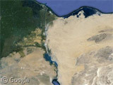
The Suez Canal is a 193km long waterway in Egypt which connects the Red Sea to the Mediterranean Sea, allowing ship traffic to pass between Asia and Europe without having to travel all the way around Africa.
The narrow width of the canal means that ships can only travel in one direction at a time, with convoys of many vessels travelling together north or south, with pauses along the way to allow traffic to pass in the other direction. Google's images have mostly captured boats travelling north, so that's the direction we'll travel on our tour.
Ships at the northern tip of the Red Sea enter the waterway at Port Tawfik, in the city of Suez which gives the canal its name.
Unlike many canals, the Suez has no locks, because there is only around a 1m difference in between the two seas, meaning the natural flow of water is not dangerous to shipping.
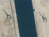
Within a few kilometres boats pass beneath the first of a very small number of connections across the canal - the overhead power line crossing. A pair of 221m tall towers provide the necessary clearance for large freighters.
Historians believe that canals were constructed in this region - in particular connecting the Red Sea to the Nile - as long ago as the second millennium BC, with ancient maps and stories from the intervening years giving hints of efforts which had varying levels of success. Napoleon proposed a canal but abandoned the scheme after receiving incorrect maps showing a 10m height difference between the seas.
Construction of the existing canal took ten years before officially opening on November 17th, 1869.
A little further north we reach the Ahmed Hamdi Tunnel which carries vehicles travelling between Suez and the Sinai Peninsula.
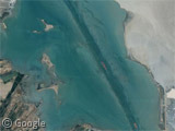
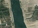
Shortly after this, boats enter the first of three lakes along the route - Little Bitter Lake. The dredged channel is clearly visible on the satellite images.
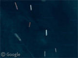
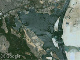
Great Bitter Lake is one of the points where ship convoys anchor to await the passage of boats going in the other direction, and it is plenty wide enough to accommodate passing ships.
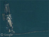
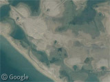
There is also some kind of barge or platform and a boat towing a number of containers - does anybody have any idea what is going on here? It appears to be connected to this strange area of landforms - perhaps where sediment dredged from the channel is dumped?
Just to the north of the lake a pair of tunnels carry fresh water beneath the Canal, which is naturally very salty.
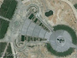
Lake Timsah and the town of Ismailia are notable landmarks along the way. On the eastern bank of the lake is a large memorial for Egyptian soldiers lost in the Yom Kippur War in 1973. There have been several other conflicts surrounding the canal, including the Suez Crisis in 1956, and 1967's Six Day War.
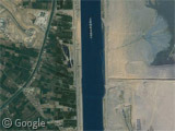
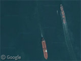
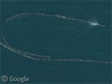
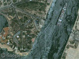
Exiting the lake we can see an interesting wake pattern caused by a large container ship. To limit shoreline erosion caused by wakes, speed in the canal is limited to 8 knots. Ships up to 40m wide can use the waterway, with a maximum draught of 19m.
If necessary cargo can be offloaded onto smaller boats to help reduce draught for the passage, which is made by over 20,000 ships every year. This is about 7.5% of global sea trade, and around two-thirds of the oil consumed in Europe transits through the canal.
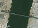
Traffic of a different kind crosses the canal on the El Ferdan Railway Bridge, the longest swing span bridge in the world. It splits in the middle, with the two halves rotating open to allow large vessels to pass.
Beyond the bridge is the Billah Bypass which again allows vessels to pause while convoys pass in the opposite direction.
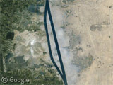
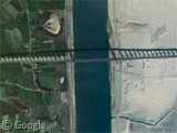
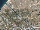
And continuing north brings us to the final road crossing and the beautiful shadow of the Suez Canal Bridge1 which has a 70m span for ships to pass beneath. The towers holding the cables were designed to resemble obelisks.
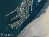
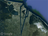
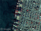
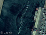
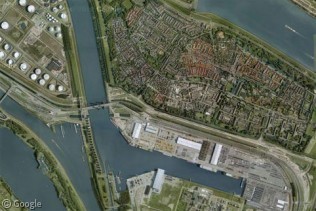
Finally, we reach the Mediterranean at Port Said, where there is a container terminal. Brand new high-res imagery of the area shows quite a number of different vessels being loaded or unloaded, along with a quite lovely reflection of the sun on intersecting wakes from a pair of small boats.
Wikipedia has plenty of information about the Suez Canal, including more history than I could include here. The Authority which operates the canal has a website, but it is always incredibly slow to load for me.
Thanks to pt, Michael hancock, Jonathan and Zack Stokes.
-
Also known as the Mubarak Peace Bridge or the Egyptian-Japanese Friendship Bridge, because really, a bridge can never have too many names, right? ↩︎

Brilliant. Great post – fascinating stuff.