Deception Island (Island Week 5)
Monday, 4th October 2010 by RobK
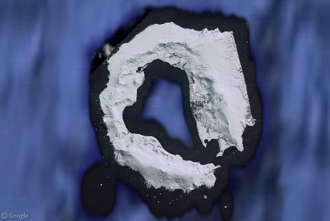
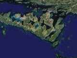
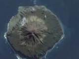
Zoom in on the South Shetland Islands, just off the northern tip of the Antarctic Peninsula, and you'll see what appears to be a giant Cheerio floating in the South Atlantic.
This is actually Deception Island, an oddly shaped chunk of land that almost completely encircles a 7km-wide natural harbour called Port Foster. It owes its existence to a vast volcanic eruption about 10,000 years ago, which left a crater that was subsequently flooded by the ocean.
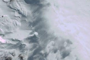
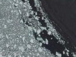
It's still rumbling away even today - Mount Pond, on the eastern side of the island, has erupted several times this century (could that be smoke and steam visible on the high-res imagery, or merely cloud?).
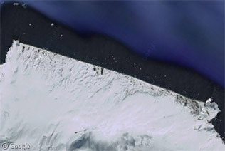
Perhaps the volcanic activity is also responsible for the curiously ruler-straight 7.5km stretch of coastline on this part of the island?
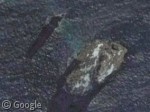
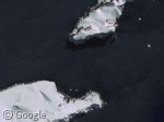
Although Port Foster is one of the safest harbours in this notoriously stormy region, in the Antarctic "safe" is all relative. The island is surrounded by hazards for unwary sailors, such as icebergs and jagged stacks of rock including the aptly named Sewing-Machine Needles. The entrance to the harbour itself, known as Neptune's Bellows, is less than 500m1 wide, and as if that weren't enough it also has razor-sharp rocks waiting just below the surface.
Still, once you do make it inside, you're well protected - and these waters have attracted a fair few sealers, whalers and Antarctic explorers over the years. In the early 20th century, several whaling companies set up operations in Whaler's Bay (bet they thought long and hard over that name!), just inside the harbour entrance, and you can still see the rusting boilers and tanks that were once used to render the carcasses.
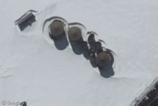
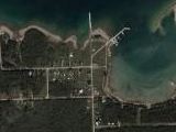
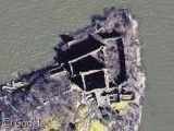
Being part of the Antarctic, the South Shetland Islands do not officially belong to any nation2, and settlement these days is limited to scientific research stations. There have been several attempts to establish permanent bases on the island, but volcanic activity has forced most of them to be abandoned. Currently there are two bases, both of which are only occupied during the southern summer: Gabriel de Castilla (operated by Spain) and the rather less impressive looking Decepción (run by Argentina).
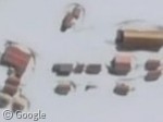
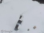 Gabriel de Castilla base (left) and Decepción base (right)
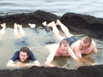
The volcanic activity means there are some huge extremes of temperature on the island - while there is sea ice floating just offshore, you can often find hot water at 40°C or more just underneath the black sand of the beaches. Some hardy survey teams have even taken advantage of this to dig their own "hot tubs"!3
As always, you can find out more about Deception Island at Wikipedia, including the tale of a visiting US Coast Guard ship that "became likely the only American military ship ever to run aground inside an active volcano"!
-
Most web sources say 230m, but that seems to be an underestimate, judging by the aerial photos. ↩︎
-
The UK claims the islands as part of the British Antarctic Territory, and they are also claimed by Chile and Argentina. However, the Antarctic Treaty means such claims are (in theory) put to one side to allow scientific co-operation. ↩︎
-
Follow the link to read about a 2004 expedition to Deception Island to salvage an Otter aircraft that was abandoned there in the 1960s. ↩︎
Sharing statistics
Share this site