Street Circuits, Part 3: Europe, Valencia
Thursday, 21st October 2010 by Chris Hannigan
Continuing our tour of city streets converted to race tracks, let's visit the spiritual home of road racing itself, Europe!
Europeans are no strangers to speed, some of the biggest races in the world occur throughout the continent. Arguably the most famous street race of them all, Monte Carlo in Monaco, has been a staple in the motorsports calendar since 1929! Let's take a look at some of the other street circuits in the region...
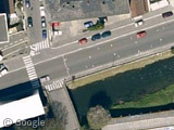
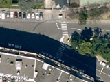
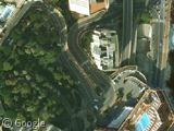
Pau, France - Pau first held a motorsports race way back in 1901, and hosted a race almost every year through the remainder of the 20th century. The modern day circuit runs through the heart of the French town and up until 2010, it was used by World Touring Cars and Formula Three. Formula 1 world champion Lewis Hamilton (then only an aspiring open wheel driver), won the event here in 2005 in a Formula Three car. Visible on Google's satellite view, we can see the markings on the street indicate where the start/finish line is located, as well as the hairpin between Avenue Leon Say and Allee Alfred de Musset.
Cagliari, Italy - Street tracks aren't limited to just streets (as we saw with Cleveland, USA) - take Circuito Cittadino di Cagliari in Italy for example. This 2.414 km (1.500 mi), 18-turn track runs mainly through a car park adjacent to the large Stadio Sant'Elia. Euro F3000 cars circled the stadium here for two years (2002-2003) before the track was abandoned. Today Google allows us to see the remnants of the track's outline snaking around the complex.
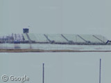
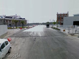
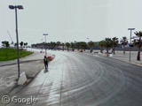
Valencia, Spain - Beginning in 2008, Formula 1 began using the harbour-front streets of Valencia to host the European Grand Prix. The site is unique because it required an almost total reconstruction of the roads and buildings in the area in order to accommodate the event. The 5.419 km (3.367 mi) track packs in 25 turns and runs adjacent to the city's harbour and America's Cup port area, even going over the water at one point. Using some clever street view navigation, we are able to tour the site during different phases of construction and actually see the track coming together!
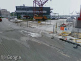
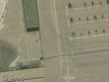
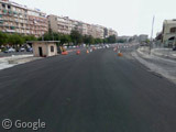
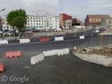
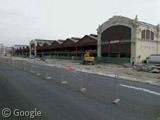
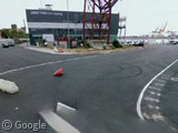 Early construction (left), and late construction (right)
The Street View car raced (or possibly drove) the entire length of the front straightaway giving us images of the fresh asphalt used to reinforce the racing surface. The final hairpin comes in at an odd angle compared to the road, so temporary walls were used to route traffic appropriately.
The pit complex building used by the race teams was renovated from former port stalls that probably held some of the finest sailing vessels in the world. Further south, towering grandstands can been seen in the distance lining the track between turns 16 and 17.
The track eventually veers off and skirts along the harbour before returning to the meet the Street View car near what would become turn 5. The last image of the road shows the track heading towards turn 6 and the beach in the distance.
For more information including race histories and track layouts, visit Wikipedia's expanding article on street circuits. Be sure to check out Part 1 and Part 2 of GSS's tour of the sites as well.
I hope the next part for European Street Circuits included the biggest of them all – Le Mans!!
Link to a map of the circuit at http://maps.google.co.uk/maps/ms?ie=UTF8&hl=en&msa=0&msid=112447513734161151134.000001134909018bdb303&t=h&z=13
Everything from Tertre Rouge in the North clockwise to Porsche Curves in the West is on public roads that are closed for the race.
The first version of the circuit continued north from the start right into the middle of Le Mans town before returning down the Mulsanne Straight