Stuck at the Border
Tuesday, 15th March 2011 by Kyle Kusch
More than three years in, Google has amassed a healthy roster of countries covered by Street View. Entering 2011, 27 countries plus Antarctica have been at least partially traversed by camera, with many more on the horizon. Alas, there are still those places where the Street View cars must turn around at the border – but sometimes the cameras get close enough to give us a glimpse at what lies on the other side.
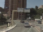
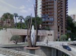
Take Monaco, for instance, where the cameras approach the eastern border only to be greeted with this giant abstract sculpture at the crossing (or is that just Monaco giving a massive middle-finger to Google's camera?).
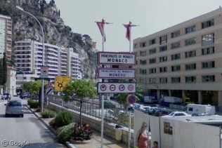
The western entrance to Monaco is quite stunning, with the road descending into the principality as cliffs loom overhead.
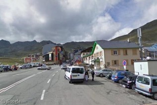
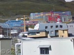
Moving south into the Pyrenees, we reach the border of Andorra, where we can sneak a peek into the ski resort of Pas de la Casa, including some oddly-coloured apartments on the hillside.
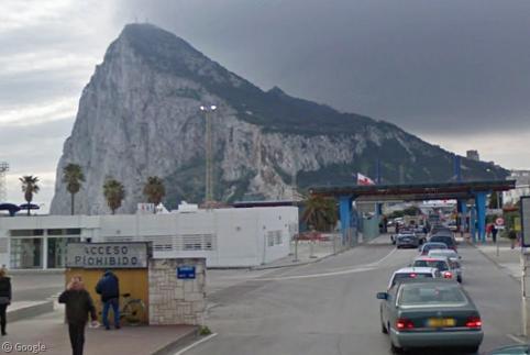
For sheer impressiveness, however, it’s hard to beat the sight of the Rock of Gibraltar looming over the Spanish border at La Linea while a thunderstorm prepares to hit overhead:
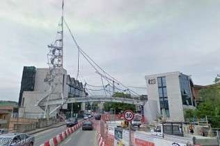
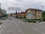
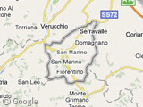
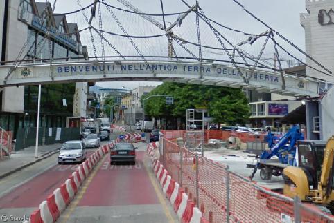
The prize for ‘Most Ornate Entrance Captured on Street View’ might have to go to the border between Rimini, Italy and Serravalle, San Marino, where the microstate has constructed a pedestrian overpass and an observation tower for tourists, leading into a major shopping district. The other main entrance to San Marino would probably be described as ‘quaint’ by comparison.
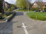
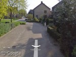
The absurdly complicated Dutch-Belgian border at Baarle (documented previously on Google Sightseeing) is likely to have presented special challenges to the Street View team. However, they have cleverly managed to avoid publishing any images captured on Belgian soil - despite examples such as this, where the camera car must drive from Holland at one end of the block, across a tiny sliver of Belgium, and back to Holland at the other end.
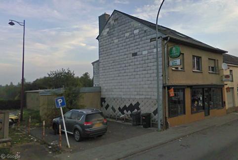
Baarle’s not the only town cut in half in Street View. Here’s a place where you park in France to dine at a cafe in Luxembourg:
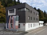
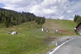
Near the tri-point of Italy, Austria and Slovenia, we get this multi-national flag arrangement at an old Austrian customs building. Further into the Alps, the Street View car camera ends its trip at the ski resort of Nassfeld, where one of the ski lifts lies right next to a field of grazing cattle.
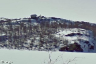
The lone glimpse of Russian soil captured so far on Street View is the view across a small lake from Norway (the only place you can actually drive south into Russia from), where we get a blurry view of a building on a hill overlooking the lake. Hmm, a regular house, or a Cold War spy shanty? You be the judge...
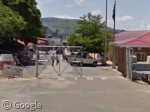
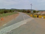
South Africa is the only African country so far visited by Street View, but sadly most of the border shots are not particularly notable. For example, the images simply stop by a fence on the middle of the road at the border with Swaziland, while the border with Botswana couldn’t be any more different, merely possessing a single stop sign.
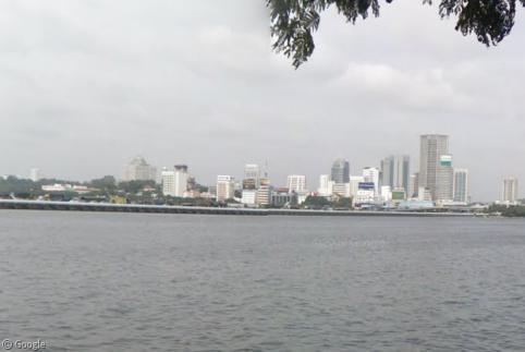
We end our forbidden borderland odyssey with a glimpse from Singapore across the Straits of Johor to downtown Johor Bahru.
With luck, one day we’ll be able to get a glimpse beyond those borders as Street View continues to roll out coverage in countries across the globe. (Then we can finally find out just what it is they’re trying to hide from us...)
It’s on Panoramio rather than Streetview, but I love this crossing between Lesotho and South Africa at the Sani Pass:http://www.panoramio.com/photo/7226781
speaking of Russian spying outpost, Russian search giant Yandex also has a “street view” service for a bunch of cities. Here’s one from St.Petersberg http://maps.yandex.ru/-/C6SlVyT
Another great set of images, Kyle.
If you move around a bit on the picture of the Austria/Italy border, the one with the cows and ski lift, you can see that the name on the Austrian border sign (the blue sign with the EU circle of stars) has been blurred out.
One deadly border which lasted for 28 years was the Berlin wall. I’m living – now – in the state of Brandenburg, which surrounds Berlin. Unitl now only Berlin has got streetview, so the border is still there, at least virtually. Here (Brandenburg/Berlin) you’re on the Berlin side and can easily look over the no more existing iron curtain.
Wow, I’m lovin’ the Russian Street View!
http://maps.yandex.ru/-/C6caAwB
Evidently they don’t block faces in Russian Street View. Also the stitching is better. Check out these “twins”: http://maps.yandex.ru/-/C6cazyr
There’s a reason why over there Yandex is bigger than Google..(among other things) they are pretty competent at what they do…
The South Africa – Botswana border post most definitely doesn’t look like that. It’s actually a little further up the road, you can see a collection of buildings on both sides of the border on Google Earth.