Mojave Desert and Owens Valley (Desert Week 2011)
Thursday, 23rd June 2011 by Chris Hannigan
I recently took a weekend trip up to Yosemite National Park from Los Angeles, and typically for me, I took the an unusual route to get there. Along the way, I passed through some stunning scenery, and also learned some unexpected, but incredible stories. Being that it's the infamous "more interesting than it sounds" desert week, I'd like to share with you what I saw in the northwest Mojave Desert and adjacent Owens Valley.
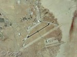
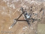
North of the traffic in Los Angeles, my loosely pre-planned route took me north through the cities of Palmdale, past the city of Mojave, and into the Mojave desert itself. Along the way I went right by Edwards Air Force base, which has been home (in some way or another) to just about every type of US military aircraft since 1950! On the ramp we can see two 747s which appear (at least according to the unusual shape on top of the fuselage), to be the ones that are employed to transport the soon-to-be-extinct Space Shuttle back to Florida.
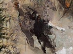
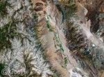
Continuing north, I went right past California City and into the beautiful Red Rock Canyon. Home to Native Americans for over 1,000 years, today Red Rock National Conservation Area is populated mostly by plants and animals - including desert tortoises. The canyon even had an official mascot tortoise named Mojave Max, but he died in 2008 at the age of 65.
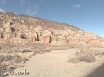
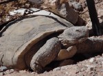 Image courtesy of the U.S. Department of the Interior, Bureau of Land Management.
Further down the road I came to the Coso Volcanic Fields within Naval Air Weapons Station China Lake. The dried lava flows here are a large source of the American southwest's geothermal energy. The NAWS itself covers 1.1 million acres making it the US Navy's largest single landholding in the world. Covering such a large area in the ancient Mojave Desert, it's also home to the highest concentration of historic petroglyphs in the northern hemisphere!
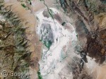
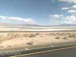
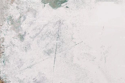
Straddling the northwestern edge of the Mojave Desert is the all-but-dry Owens Lake, which isn't dry from the extreme heat and lack of precipitation (like most of its cousins up the road in Death Valley), but rather it dried up in the 1920s because its water source was rerouted to feed the developing Los Angeles aqueduct.
By this point, I was exiting the Mojave Desert and entering Owens Valley, which is nestled between the Sierra Nevada mountains in the west and the White Mountains and Inyo Mountains in the east. The valley has been a popular filming location for movies and TV shows since the 1920s, and according to Wikipedia, the Alabama Hills alone have been featured in over 150 films and about a dozen television series.
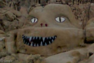
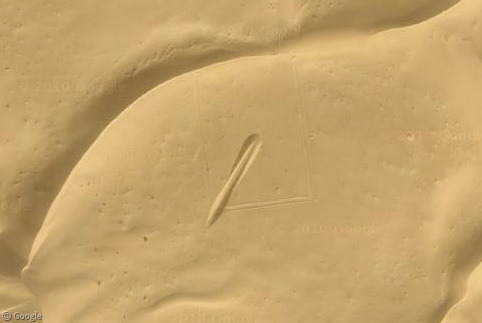
Along the way up to Mount Whitney (the tallest mountain in the contiguous US), I found this brilliantly painted boulder.
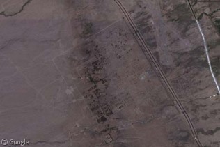
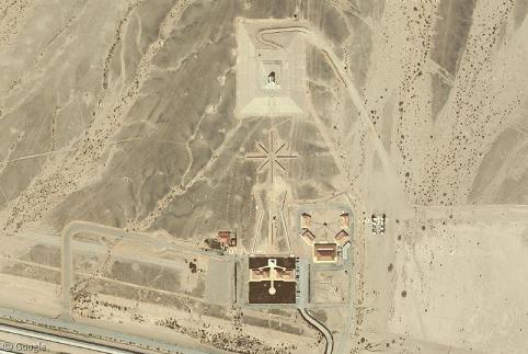
Owens Valley also contains an important historical site - Manzanar. After the bombing of Pearl Harbor at the end of 1941, over 10,000 Japanese prisoners (most of whom were American citizens) were forcibly moved here by US soldiers. Formally called the Manzanar War Relocation Center, the camp closed in 1945 and the prisoners were given $25 and a bus ticket to start their new life. Today, all that remains are a few outlines of roads, gardens, and the nearly 60-year-old community gymnasium, which now serves as a welcome center.
I eventually made it up to Yosemite, but the great thing about road trips is the journey is all part of the fun. If you fancy making the trip yourself, you can read more about the Mojave Desert at Wikipedia.
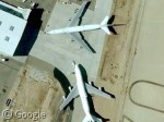
The Shuttle ferrys can also be identified by their elevon tiplets. Big, square, vertical endplates on the horizontal stabilizers. Pretty visible in the shadow of these images.