San Francisco Volcanic Field (Volcano week 6)
Wednesday, 24th August 2011 by Chris Hannigan
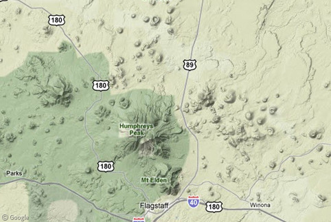
There's a hidden fact about northern Arizona that many non-residents don't know. The landscape is littered with more than 600 volcanoes, many of which tourists drive right by without a passing glance, as they continue on their way to any of Arizona's better known natural landmarks. The San Francisco volcanic field1 is more the 4,700 square km (1,800 square miles) in size, and contains volcanoes ranging in age from less than 1,000 years to over 6 million years old.
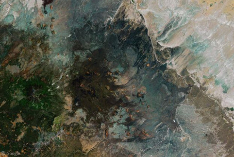
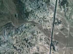
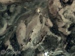
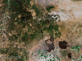
Looking at it from above using Google's terrain view, the sheer number of volcanoes popping up in one spot make the ground look like it has a bad case of acne!
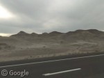
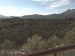
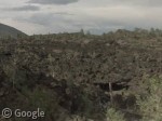
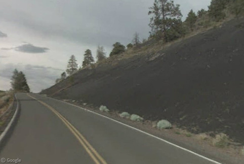
The numerous volcanic eruptions over the years have led to the ground being covered in lava and ash, and the black tinge this gives the landscape is clearly visible from ground-level.
Further north however, the ground turns grey beginning to somewhat resemble a lunar landscape!
One of the most notable eruptions occurred around 71,000 years ago resulting in the creation of S P Crater, and the subsequent lava flow created one of the most beautifully contrasting landscapes in the area. S P Crater's real name is Shit Pot Crater thanks to a colourful "old west" rancher who thought the crater resembled a pot of overflowing excrement. The name stuck but mapmakers choose not to use its full title on account of it being too rude2.
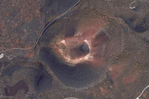
The most recent eruption took place on near the east side of the volcano field at Sunset Crater. Best estimates date the eruption around 1080-1150 AD, well within the time the area was inhabited by Native American Indians.
Multiple lava flows poured from Sunset Crater to the northwest and northeast, while smaller vents extending along a fissure sent lava rolling down to the east. Today, a road runs through the lava fields and around the base of the crater itself, granting us some great sights from street view.
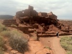
Shortly after the eruption of Sunset Crater, the surroundings to the north were inhabited by Ancient Pueblo People3 because the resulting volcanic ash produced a fertile ground for agriculture. Numerous pueblos were built, some of which still remain standing today.
The largest of these pueblos was called Wupatki, and at over 100 rooms, it was quite possibly the largest pueblo anywhere in the area during its time. Some of the actual pueblo building remains standing today, and from the satellite maps we can see other structures like a ball-court. The region is thought to have been completely abandoned by 1225.
The volcanoes in the San Francisco volcano field are far from extinct. Scientists agree that with Sunset Crater erupting less than 1,000 years ago, the region is still very much active and another eruption could happen in the future. However, as with all things volcanoes, no one knows exactly when that might be. Until that day, you can visit the area in your car (right up to the base of the volcano) or get out and hike4. I recommend going at any time other than summer though, because it gets unbelievably hot out there!
-
Which is nowhere near San Francisco, CA. ↩︎
-
Some of you may be thinking that this sounds a little inconsistent with previously cited mapmaking policies, but that's the best information we can find! ↩︎
-
Specifically the Sinagua, Cohonina, and Kayenta Anasazi tribes. ↩︎
-
Just watch out for critters! ↩︎
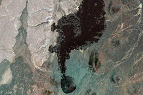
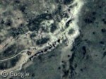
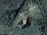
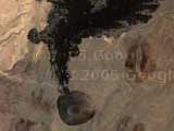
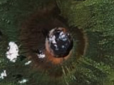
Very cool! Shit Pot Crater looks as though it’s leaking ink into a oily pond.
Isn’t it tho? For the longest time I thought Shit Pot was the latest eruption in the area just because of how fresh it looks, but it’s far from it! That whole area is amazing tho. There are so many different kinds of landscapes out there…