Google Maps publishes aerial images of murder scene
Tuesday, 31st January 2012 by Alex Turnbull
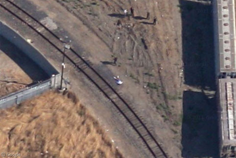
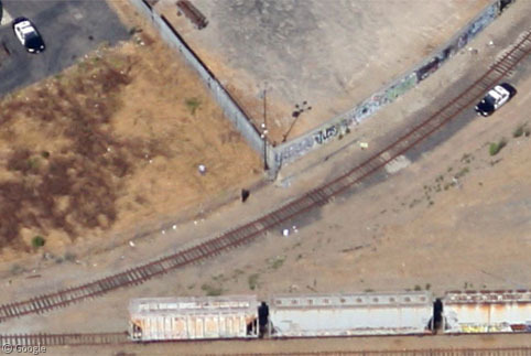
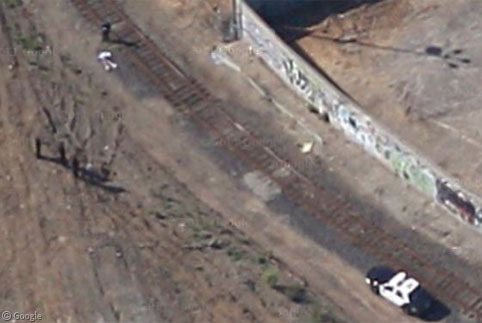
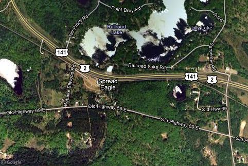
The continuing rollout of 45° "birds eye view" images across the globe1 has now revealed a real-life tragedy. On the railroad track near Sanford Avenue in the city of Richmond, California, we can clearly see a corpse lying on the rails.
The ever increasing resolution of Google's imagery has continued to reveal greater detail people's lives - particularly through the Street View imagery - but this is the first time an aerial photgraph of such a graphic nature has been published on the site.
We can't be sure about the details of the scene - there's no sign of injury from this distance - but the number of police officers and vehicles (both marked and unmarked) suggests that this is unlikely to have been a case of accidental death.
The location however gives us more indication of what might have happened here. This track forms the apex of an area that is known locally as the "Iron Triangle"2. It's a high crime area in the middle of a city that was in 2007 rated as the 9th most dangerous city in the United States.
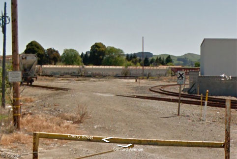
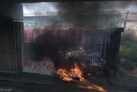
There's nothing to see in the aerial image facing east, but we can have a look from this direction on Street View - of course the imagery was captured on a different day, so nothing is revealed about the crime itself.
Can anyone locate a news report or press release about the incident so we can try and work out what actually happened here? The time stamp on Google Maps claims this image was taken in 2012, but it's unclear how accurate this is, so a specific date could be hard to pinpoint.
Thanks to @KeirClarke.
-
Here's a good map of Google's 45° coverage (by Munden on the Keyhole forums). ↩︎
-
Named for the three major railroad tracks which surround it (map of boundary). ↩︎

Looks like this exact spot has had some trouble from a while. Here’s an article from 2009: http://richmondconfidential.org/2009/10/23/problem-tracks/
I believe the date on the maps photos suggests they were updated in 2012, but id say its more likely that they are from 2011? http://richmondconfidential.org/2009/10/23/problem-tracks/
whoops, meant 2009…
View Placemark This angle seems to show the guy clearly walking… I thought maybe he was surrendering, but it was pointed out to me that his arms are not out stretched, so probably not the case. Perhaps the cops shot him O.o
Hi Stuart, are you looking at the police officer? The victim looks pretty dead to me 🙁
Tazered maybe?
Given how long the body must have lain there (long enough for the aerial photography airplane to have passed three times in different directions), I think it’s safe to assume that whoever it is, never recovered.
Guessing, from this account, that it’s Kevin Barrera. The location linked isn’t exact, but the description in the article is a pretty close match.
http://richmondconfidential.org/2009/10/23/problem-tracks/
I’m not so sure, it looks like the officer and the dead guy are roughly the same height so I’d guess it’s an adult who has died
there was also a woman murdered near there earlier in the year. http://abclocal.go.com/kgo/story?section=news/local/east_bay&id=6661127
Hi! You said that the time stamp claims the picture was taken in 2012, but I think the year that appears on the pictures is not the year they were taken because in the pictures of my city it also says 2012 but it is clealry unupdated! Sorry if I’m wrong
Hi, interessante Postings hast du hier. Ich habe auch einen Blog, besuch mich mal, es kann dein Leben positiv verändern! Hier gibt es NUR Originale und keine billigen Kopien aus Asien. Greetings from Switzerland