The Gobi Desert (Desert Week 2012)
Monday, 9th July 2012 by Ian Brown
The rain shadow caused by the massive bulk of the Himalayan mountains creates arid conditions for a huge distance to the east. The 1,600km (1,000 mile) long arc of the Gobi Desert spans the border between China and Mongolia; it is the world's fifth-largest desert and the largest in Asia.
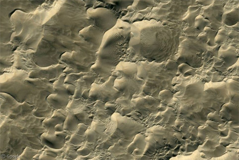
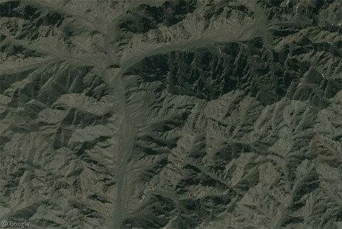
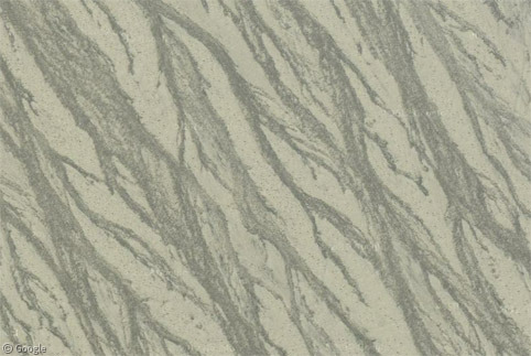
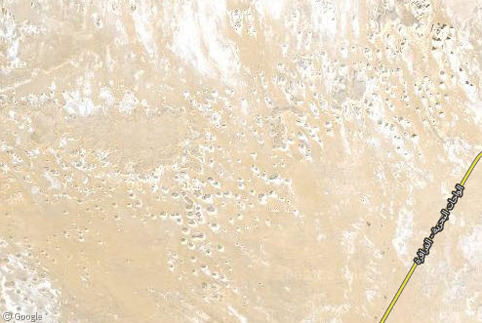
Covering an area of 1.3 million square kilometres (half a million square miles), the Gobi includes a wide range of ecoregions and surface conditions - from immense sand dunes to rugged mountains. Wherever you look on Google maps, zooming in reveals beautiful landscapes which often resemble abstract art.
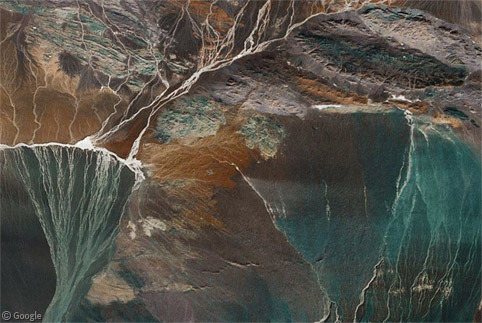
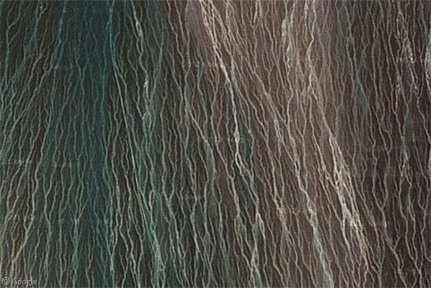
Some of the most visually stunning images can be found in the vast alluvial plains formed by the few rivers which flow through the desert.
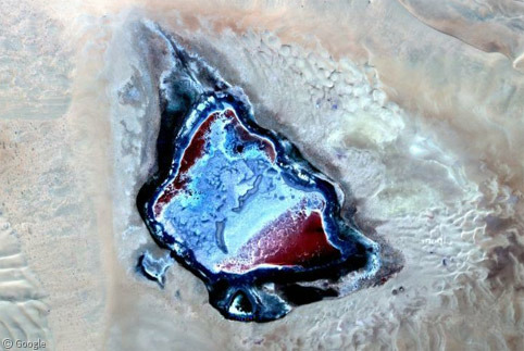
Rich mineral deposits also create unusual colours in many small lakes.
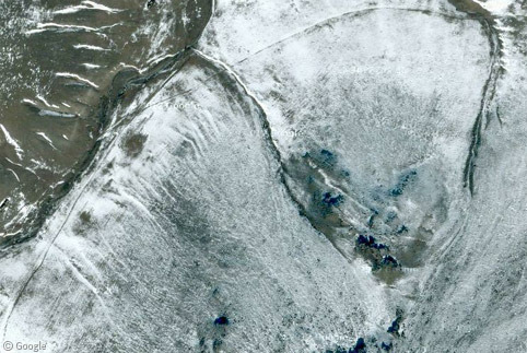
The Gobi experiences extremes of temperature in many regions. While parts are the stereotypical blazing hot desert, the latitude and elevations well above 1,000m mean that temperatures fall well below freezing for much of the year. Winter snow accounts for a significant proportion of the limited annual precipitation.
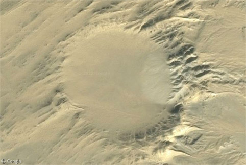
In south-east Mongolia the desert landscape is interrupted by a clear circle - the Tabun-Khara-Obo meteorite impact crater. Although the impact occurred about 150 million years ago, the crater was only finally discovered in 1976.
Even with the natural beauty of the landscape, the extent of human activity in the Gobi also produces very interesting satellite images. The harsh conditions haven't prevented exploration, travel or habitation, and many historic trade routes cross the desert.
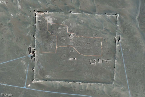
One of the most ancient signs of human habitation is the walled city of Khara-Khoto (also known as Eji Nai City), which dates back to 1032. The city was seized by Ghengis Khan in the 13th century, and is believed to have been visited by Marco Polo. It was abandoned in the late 14th century, and the ruins (which were originally in Mongolia, but due to border movements are now in China) were discovered by Russian explorers just over 100 years ago. Wikipedia has a more detailed history.
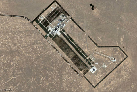
Less than 100km to the south-west is a rather more modern structure - the Jiuquan Satellite Launch Centre. Part of a much larger space and military facility, the Centre typically launches unmanned satellites and construction materials into orbit for China's planned space station. However, human spaceflights have launched here as well, with a recent notable mission on 16 June 2012 which included China's first female taikonaut.
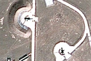
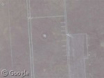
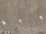
To the north-west of the launch pads is a large military location of some kind - maybe a missile test area? The imagery is quite low-resolution but I think these could be helicopters.
Given the proximity to an international border, perhaps it is not surprising to find a huge number of Chinese military facilities around the Gobi desert, some of the strangest of which we featured back in 2009.
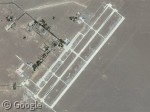
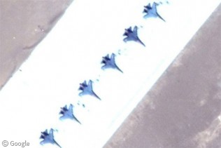
Here we see Dingxin Military Airport, with a large number of fighter jets and other aircraft visible.
Just to the east of the runways are other facilities and numerous strange markings in the desert - again, possibly for missile target practice.
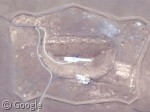
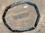
This curious construction however, protected by a moat, is a complete mystery - I have been unable to find any information about it. There appear to be bunker entrances, large Chinese characters on the ground, and a triangular marking just to the west. Does anyone want to take a guess at what this might be?
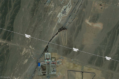
The few roads which cross the border which runs through the Gobi Desert all seem to have many buildings and grandiose structures on the Chinese side, while the Mongolian side is much simpler.
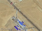
This particular crossing mainly serves coal trucks travelling from the Nariin Sukhait coal mine in Mongolia (see later in the post) to a Chinese facility just south of the border. Lengthy queues of trucks are backed up waiting to travel back north.
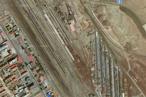
Further east, the small Chinese town of Erenhot is an important crossing point for both cars and trains, which have to change wheel sets in the large train yards due to the different track gauges on either side of the border.
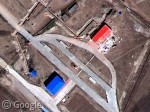
Just south of the border there is an ornate bridge which spans both the road and railway, while nearby there are several large buildings and courtyards. At the actual border post there is a crush of traffic travelling both ways. On the Mongolian side is a much smaller bridge and fewer buildings!
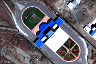
And even further east a huge building and splendid plaza dwarf the equivalent on the other side.
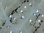
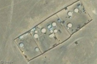
In many Mongolian communities, yurts - round homes traditionally used by nomads - are visible, sometimes in what appear to be walled compounds.
The Gobi has many mines on both sides of the border. Oyo Tolgoi in Mongolia produces both copper and gold. Presumably the many yurts house the mine workers.
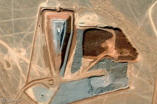
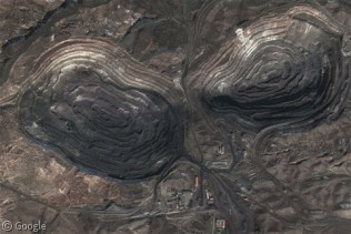
Here is part of the Nariin Sukhait coal mine mentioned earlier, and a rare earth metal mine at Bayan Obo in China.
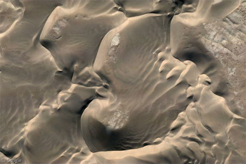
Instead of ending with images of scars in the earth, here's one more look at beautiful sand dunes.
For more information about the Gobi Desert, Wikipedia is a good place to start.
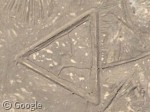
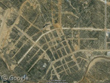
I want to say the triangle is just an ancient fort. There are two others (at least), one to the south of the pictured one, and another to the northeast of the moated complex, bisected by a road (lending credence perhaps to the ancient suggestion).
As for the moated complex, I’m thinking proving ground, possibly underground nuclear testing. The fact that the barracks and support buildings are outside the moat would suggest that.
I think the “helicopters” are actually howitzers or other artillery.
The three triangles (which appear to be ditches, not mounds) all have similar interior roads, which suggests that they were weapons installations — perhaps SAMs to defend the moated area. Nothing appears to be in them now. Also, the south triangle has vegetation in the ditch, suggesting they too were once water-filled. And the three triangles seem to sort of point to each other; at least, the southeastern one’s upward corner points to the western one, and the western one’s northeasterly corner points to the one bisected by the road.
There are at least four of these “moated ” sites in the area and all have triangles, there is another view from a passenger on a plane of one of them here – http://www.flickr.com/photos/ruap1967/6815331915/
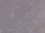
The other three look abandoned compared to the one here. Also, I note on the other three you can clearly see a road going up the hill (which must be manmade), and often one or more dark-centered mounds (they look a bit like cartoon eyes). Also, the one that looks most abandoned (to the northwest, north side of moat nearly dried up) has some circular star-like white striations near the top.
I suspected that if there were other moated sites, they would be further abandoned and harder to spot, as their moats would have completely dried up. Then I found just such an animal: 42.114428, 100.901184 . I also note that of the triangles at this site is smaller than the other three…
the chinese text translates to “er hao shan” if you do a google image search on you get some older images of the sites all from a google group in 2005 about Chinese moated fortresses, wherein they state it appears to be from a time in the 60’s – 70’s when russian chinese relations where not so good. It can be found here – https://productforums.google.com/forum/?fromgroups#!topic/gec-military-moderated/TyhpEuCOIf0 You need a google login to view.
More interesting than the Fighter Jets at the airfield are the planes parked at the other end … which would appear to be two (of five built) KongJing-2000. https://www.googlesightseeing.com/maps?p=&c=&t=k&hl=en&ll=40.393641,99.773444&z=18 http://www.sinodefence.com/airforce/specialaircraft/kj2000.asp
On the helicopters I have to agree with Keith T … they look more like Field Artillery to me.
And now we also know what the triangular shapes are:
http://weeklyworldnews.com/headlines/1823/wreckage-of-bermuda-triangle-in-gobi-desert/
An interesting document which covers some of the aspects discussed here:
http://www.mine.mn/WPJ9_3_Cross_Border_Routes.pdf
Particularly p75 (28 in the pdf O_o) shows that there are (were) at least ten of these moated citadels.
The PDF is pretty helpful, it gives us the background that these are Cold War era installations. It does line up with the 6 I’ve found in the northern area, and thanks to their map I have found the southernmost one.
https://maps.google.com/maps/ms?msid=211612567887035871735.0004c46b1cdc92d400df7&msa=0&ll=40.429448,99.847569&spn=0.006133,0.010471
On map view, some of these are labeled with names like “No. 1 Mountain”, “No. 2 Mountain” etc.
Thanks for all the research and links, folks!
The Gobi is the largest desert in Asia? Wrong!! The Arabian Desert is almost twice the size of the Gobi and where is it? Europe? Africa? No! It’s in Asia!! I just wish more people would check their facts instead of just blindly publishing articles.
There is a long thread that eventually explains these Chinese fortress here. They date from the time of Mao Zedong.