The War of 1812 – Canada
Tuesday, 14th August 2012 by Ian Brown
This summer, communities around North America are marking the two-hundredth anniversary of the start of the War of 18121. Perceptions of the conflict and its outcomes very much depend on where you live and what history you were taught in school. Most agree that Britain and Canadian armies and navies successfully prevented the US from capturing Canada, while American forces managed to defend their own territories from British invaders. We'll take a two-part look at important locations and monuments commemorating the War, focusing on Canada in this first post, and south of the border in a follow-up.
The Americans carried out invasions in both Upper and Lower Canada, around Lake Ontario and along the St. Lawrence River. The British created forts in several places in an attempt to protect fledgling communities or strategic locations such as river mouths and crossings.
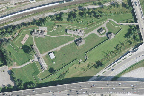
Toronto may have grown into Canada's largest city, but two hundred years ago it was a small town named York, with the garrison Fort York created to defend the capital of the newly formed region of Upper Canada.
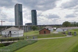
Now surrounded by busy roads to the east and south and train tracks to the north, and with high-rise towers looming over it, it's hard to picture the battle that raged here in April 1813, when US forces captured the town and burned many of its buildings. The British recaptured the fort later in the year and built new structures and fortifications, many of which are still seen on the site.
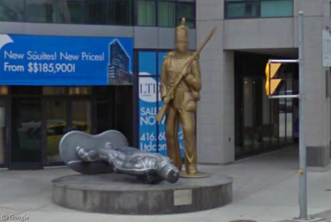
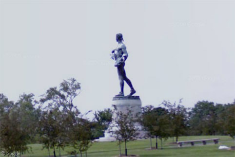
Just to the south, we find a statue created by artist Douglas Coupland, that caused some controversy when it was unveiled four years ago. Resembling a child's toys, a Canadian solider stands over a fallen American fighter.
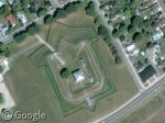
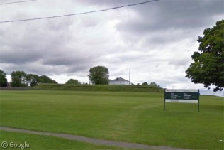
Unlike the garrison in York, Fort Wellington - near Prescott - was never attacked. Its formidable weaponry intimidated the US forces into travelling mainly by land when heading for an attack on Montreal.
The land route taken around Fort Wellington led to an intense battle at Crysler's Farm in November 1813. A British victory saw the US abandon military campaigns along the St. Lawrence. The battlefield was flooded when the river was expanded for shipping, but there is a memorial at the historical Upper Canada Village museum.
Fort Henry in Kingston was a vital location where the St Lawrence and Cataraqui rivers join and flow into Lake Ontario, and the location of the Royal Naval Dockyard. The structures now on the site date to the decades after the War of 1812.
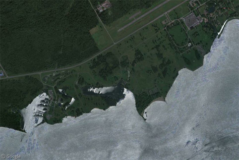
The region around the Niagara river was where some of the most intense and extended fighting took place, and there are many monuments and museums in the area. One of the earliest battles was in Queenston Heights, where US forces had captured a strategic hill-top location.
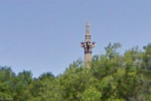
British Major General Sir Isaac Brock led the charge to reclaim the site and was shot during the attack. A 56m (185 ft) tall monument to him now stands in the park. Visitors can climb the 235 steps inside the column to take in the view from just beneath Brock's statue.
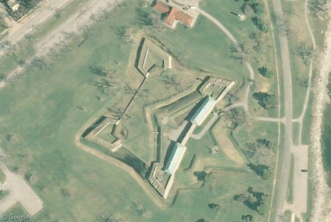
Fort George in Niagara-on-the-Lake was captured by US forces in May 1813 and held for the rest of the year.
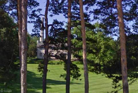
From Fort George the Americans engaged British forces in numerous locations. The Battle of Stoney Creek a couple of weeks later is seen as a turning point in the war, when the British were able to repel an American attack. A park and large monument (just visible through the trees on Street View) mark the location.
One of Canada's most enduring icons of the War of 1812 is Laura Secord, a farmer's wife who, in June 1813, learned of an imminent American attack. She walked 32km (20 miles) overnight to warn the British and Canadian forces who were thus prepared and easily fended off the American forces.
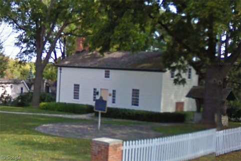
There are many uncertainties to the story, including exactly how Secord learned of the attack (although she likely overheard it from US soldiers who she was being forced to house), and there was lingering resentment that she received little official recognition for her role in the war. Somewhat strangely, her real lasting legacy is that her name was given to a nationwide chain of chocolate shops. Her house in Queenston is now a museum.
The Battle of Lundy's Lane was the scene of the harshest fighting, and is renowned as one of the deadliest conflicts ever fought in Canada. The British won the battle, but hundreds of soldiers on both sides were killed or wounded, and both armies were significantly weakened.
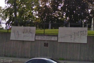
Drummond Hill Cemetery stands on the battleground and many soldiers are buried there, as is Laura Secord. Commemorative limestone plaques show scenes from the battle.
Despite these British victories, the war raged on for a considerable time, with the Americans gaining a significant win at the Battle of Chippawa around the same time. The battlefield is preserved as a historical site, with a monument to the fallen soldiers, though it is not visible on Street View.
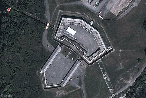
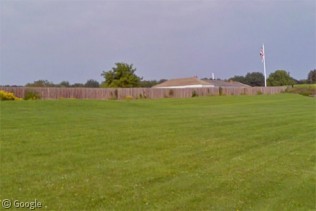
The Siege of Fort Erie was one of the final drawn-out conflicts of the War of 1812, lasting for most of August and September 1814. The American forces occupied and strengthened a fort which the British had originally built for their own use. After much fighting and heavy losses on both sides, the Americans finally withdrew under heavy attack from British land and naval forces.
This Siege took place while peace negotiations started in Ghent, Belgium, with both sides realising that they were so weakened they were unlikely to gain any more significant victories. An accord was finally signed on Christmas Eve, 1814.
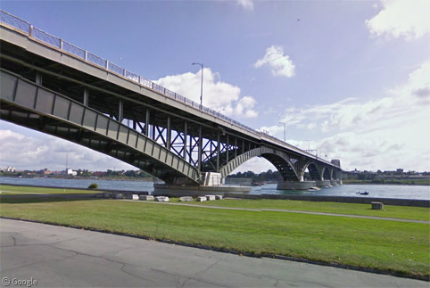
A hundred years later plans were drawn up for a new bridge across the Niagara River to mark a century of peace between Canada and the US. The Peace Bridge opened in 1927.
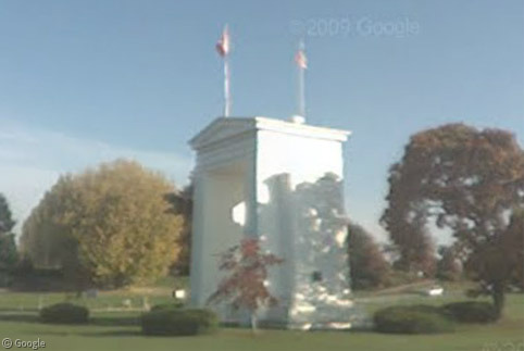
Additional monuments can be found in many locations - even on the far side of the country, far from any battlegrounds. The Peace Arch straddles the border between British Columbia and Washington state.2
This post is intended to be only a brief summary of locations and major events, so much detail is omitted. For a more complete history I suggest Wikipedia or the Visit1812 website.
-
While war was declared on June 1, 1812, and despite being referred to as a single year, the war lasted for two and a half years, and most significant battles took place in 1813 and 1814. ↩︎
-
The Peace Arch is noted as the location of concerts by singer Paul Robeson in the 1950s. The noted activist had his passport taken away by the state department due to his ties to communism and outspoken criticism of the government. He performed on flatbed trucks carefully parked just south of the border, to large crowds on the Canadian side. ↩︎
The above write-up on this blog regarding the War of 1812 is clearly written from a British/Canadian perspective.
As was clearly stated at the start of the post … so what is your point?
David – you are correct – I am Canadian (and originally British). And while I will be writing the follow-up post about US locations, I hope I can portray them to your liking. I’ll be working on the post very soon. While I have a list of sites I intend to include, if there are locations and/or events that you feel should be covered, please feel free to mention them in a follow-up comment, or through our submission form.
In recognizing the War of 1812 with amazing material like the above, Canadians and Americans are able to celebrate shared histories as well as their individual accomplishments; some really amazing things came from the War of 1812. The American national anthem was written during this time and we here in Canada, “Today” have the honor of singing ours because of sacrifices made then on our behalf then.
A big site is missing in Ormstown, Quebec. It’s now a Canada Park site.
On October 21, 22 and 23, 1813, close to 3 000 American soldiers under General Hampton and Colonel Izard crossed over the border and set up camp down river from the Spears farm, on the site of the present-day Ormstown Fair.
In the meantime, Lieutenant Colonel de Salaberry took up position along the north bank of the Châteauguay River.