Midway Atoll
Tuesday, 26th March 2013 by Kyle Kusch
Known as the site of one of the most pivotal naval battles in history, today Midway Atoll strikes an odd balance between its military past and its tropical paradise locale. It’s also one of the most remote places ever visited by Google Street View.
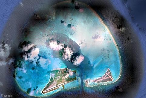
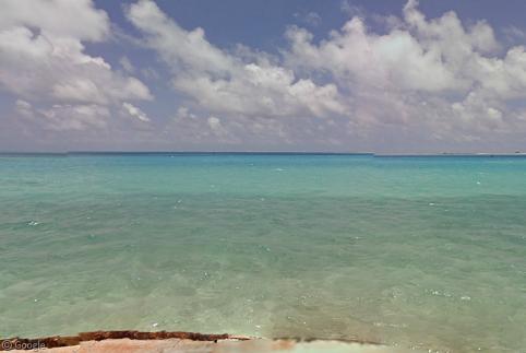
Midway Atoll lies at the extreme northwest end of the Hawaiian Islands, though it is not part of the state of Hawaii itself. A National Wildlife Refuge administered by the US Fish and Wildlife Service, Midway is indeed ‘midway’ between Asia and North America: 4,100 km (2,500 mi) east of Tokyo and 5,200 km (3,200 mi) west of San Francisco. The atoll consists of a coral reef that contains a 68 km2 (26 sq mi) lagoon with three islands in its south end – the final remnants of a prehistoric volcano formed 28 million years ago that has long since sunk into the sea.
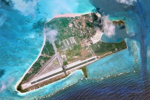
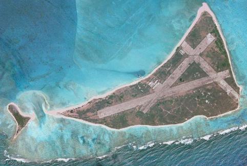
The largest of the three islands is Sand Island, which makes up about 78 percent of Midway’s land area. Sand Island hosts the airport, Henderson Field, as well as all of Midway’s buildings and residences. Directly to the east lies the other two islands of Midway, Spit (the small one in the middle) and Eastern, home to the original World War II airstrip.
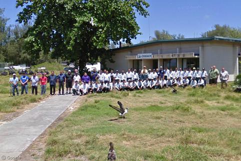
It’s probably not surprising that the staff at Midway were more than excited to greet the Street View folks – the year-round population on Sand Island is around 60 people, and the nearest town is 1,865 km (1,160 mi) away!
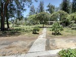
Fortunately, accommodation on the island is pretty nice. Just look at Midway House, the residence of the officer-in-charge built in 1941. Nice front garden, too.
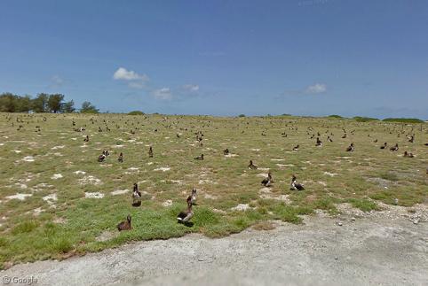
Did you notice the birds in the staff image or in the courtyard? If there’s a recurring theme in the Street View imagery at Midway, it’s birds. As both a protected wildlife refuge and as one of the pivotal stopover points for seabirds crossing the Pacific, birds are everywhere – and we mean everywhere. Almost every outdoor image taken on Sand Island includes some of the three million birds that call Midway Atoll home, including 70 percent of the world's Laysan Albatrosses and over one-third of its Black-footed Albatrosses.
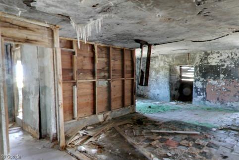
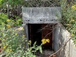
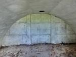
Midway was not permanently settled until the United States Navy arrived in 1940 to open a Naval Air Facility. Within two years, Midway would be the battleground for one of World War II’s most decisive victories. Taking place over four days in early 1942, the US thwarted an attempted Japanese capture of the island. Midway’s history of warfare is evident in the island’s landscape. The ruins of the old command post stand to this day (the roof now bearing stalactites), and this old bunker lies hidden in the grass on the south shore. Unsurprisingly, albatrosses have even found their way inside there, too.
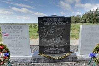
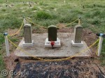
Naturally, memorial cairns exist to commemorate the battle, complete with a list of ships involved in the battle and a centrepiece map. On the east side of the island, there are also three cairns engraved with Japanese writing; a memorial to three fisherman lost at sea back in 1911.
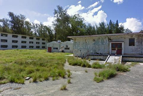
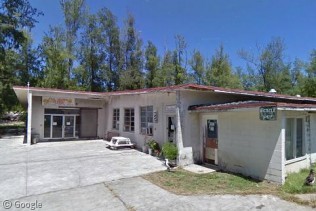
There are a few dozen buildings on Sand Island, some dating back as far as 1903 and the Commercial Pacific Cable Company’s attempt to build a trans-Pacific telegraph cable. Others were tourist facilities built during the first days of transcontinental flight in the 1930s. Most buildings on the island, however, come from Midway’s WWII and Cold War heyday as a naval air station. At one point, over 3,500 people lived on the island, and even into the 1970s the population was over 2,000. Most of the pavement arund the island is crumbling, and the many abandoned barracks and naval facilities are in various states of disrepair. An ongoing US$5 million project to strip the toxic lead paint from the all of the abandoned buildings’ walls is scheduled to be completed in 2017.
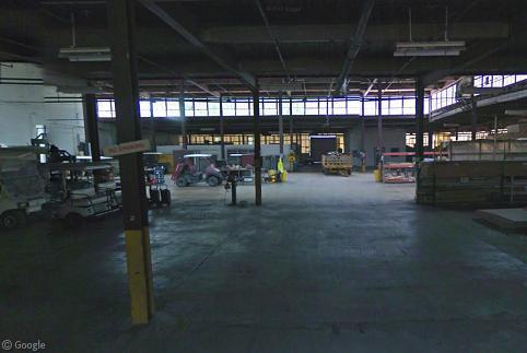
The largest buildings on Sand Island are the hangars and maintenance facilities. One of these huge buildings is dedicated exclusively to storing golf carts and bicycles – the only motorised land transportation on the island.
Between 2008 and 2012, Midway was opened up not just to government personnel and Fish & Wildlife Service volunteers, but to eco-tourists as well. In 2012, the year Street View visited Midway, the island received 332 tourists. And there’s no shortage of services for staff and visitors alike; at the Midway Mall, one can shop at the gift shop, go to the library, or even have a bite to eat or a haircut while waiting for their bicycle to be repaired at the bike shop!
Sadly, these facilities will see far less use in 2013 due to budget cutbacks that have suspended all visitor and volunteer programmes. With no public access to Midway scheduled at the moment, the only time you can visit now is if your plane was forced to make an emergency landing over the Pacific. But, hey, if you do get marooned at Midway, there’d be a lot worse places to get stuck.

This tour guide about the Bikini Atoll Island reminds me of the advertisements for RX Drugs that you see both in print and on the tele. Beautiful pics of blue skies, puppies and kittens and promises of a better healthier life ahead. Then they rattle off the UN-likely side effects quickly and quietly, hoping you won’t hear them. False and risky advertisements are dangerous. I can see the infommercial for tourism to Midway Atoll; “Travel to Midway Atoll and enjoy year-round tropical weather, RADIANT sunshine and neon blue-green waters all while enjoying the Birds natural habitat where they flock to rest on their journeys both south and north to RECHARGE their wings. You’ll surf the waves, explore the caves and also enjoy the luxury of being able to microwave your food right in the palm of your hand! Bring your metal detector to comb the beaches, heck, bring your Geiger counters. too.
disclaimer: We are not responsible for the contents of this advertisement.
Please look up the history of Bikini Atoll Island…It’s really a sad story.
-Sharon .
Looks like someone can’t tell Midway from Bikini. Just a few thousand kilometres off, after all.