Search Results for 'katrina'
Hurricane Katrina and New Orleans – 5 Years Later
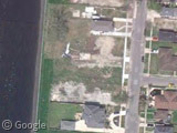
On August 29th 2005, Hurricane Katrina ripped through Louisiana and Mississippi en route to becoming the deadliest US hurricane since 1928. It's been five years since the disaster, but looking through Google's satellite and Street View…
Katrina Map Updates
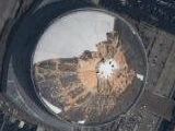
The Google Maps and Google Earth data has recently been updated with photos of New Orleans taken on August 31st at 10am and showing the extent of the damage to the city and flooding that was…
Hurricane Katrina
Hurricane Katrina has torn through the United States causing untold damage and horrendous loss of life. Katrina has destroyed the eastern part of the I-10 bridge over Lake Pontchartrain (shown here before it was damaged), flooded…
Standing But Not Operating: Abandoned Theme Parks
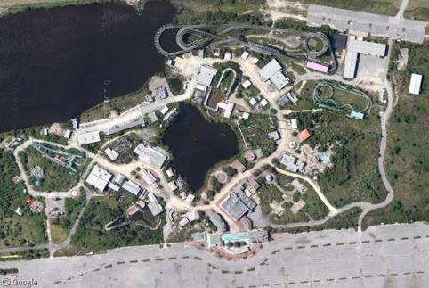
'Standing but not operating' (SBNO) is the term applied to amusement parks and amusement rides that have been abandoned by their owners but remain structurally intact. Not only are abandoned amusements favourites among urban the urban exploration crowd, SBNOs also make for great Google Sightseeing!
New River Gorge Bridge
The New River Gorge Bridge in West Virginia is the highest road bridge in the Americas and (until Google updates their French imagery), is the tallest road bridge visible on Google Earth. The bridge is a…
New Orleans
In case you missed it, there was recently a spot of bother over the New Orleans images in Google Earth. Back in August 2005, just after Hurricane Katrina wrecked the city, Google updated Maps and Earth…


Sharing statistics
Share this site