Struve Geodetic Arc
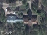
The Struve Geodetic Arc was a network of triangulation points developed in the 19th century, in an attempt to accurately calculate the size and shape of our planet. 34 of the original 265 points are clearly marked and were recognised…
The Skeletons of Roopkund Lake
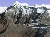
Roopkund Lake lies tucked amongst the towering peaks of the Indian Himalayas at an elevation of more than 5,000 metres. Frozen almost year-round and extremely remote, this frigid alpine lake can only be reached on foot, four days walk from…
Hurricane Katrina and New Orleans – 5 Years Later
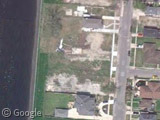
On August 29th 2005, Hurricane Katrina ripped through Louisiana and Mississippi en route to becoming the deadliest US hurricane since 1928. It's been five years since the disaster, but looking through Google's satellite and Street View services it's clear the…
Guess what happens next…
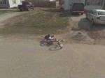
Location: Pierce City, Missouri. Date: Unknown. A young man cycles along the same street as the Google Street View car. Can you guess what happens next? Oh YEEEEAAAAAHHH!! At the exact moment this image was taken, mid-falling-off, it looks like…
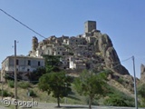
Ghost Town: Craco
In the far south of Italy there is a medieval hill town called Craco which was abandoned due to the instability of the ground it had stood on for centuries. Historians believe a community was first established in the area…
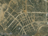
Ordos: China’s Vacant City
In grand Dubai-esque fashion, Ordos City in Chinese Inner Mongolia rises from the desert to proclaim the glory of mankind's accomplishments. Its glittering high-rise buildings and grand government projects are skirted on all sides by smooth unblemished pavement and endless…
Sharing statistics
Share this site