Forest Fires
Monday, 25th April 2005 by James Turnbull
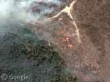
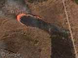
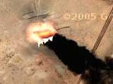
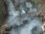
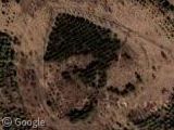
It's pretty obvious where the fire has been and where it is heading in the first forest fire in Louisiana (thumbnail #1) and there is an immense amount of smoke from this other fire in Louisiana. You can see a fire spreading like it's a burning piece of paper in this fire in Texas (thumbnail #2).
There are also (low-res) shots of a huge fire in Central Cuba, a collection of fires in Alaska and yet more in Alaska.
Thanks: Rusty, K-milo, DDA & Jason
Here is are some links to pictures of the Alaskan forest fire. I think one of them happened near Chena Springs Road in May 2002.
http://www.northernlatitude.com/images/MAY02-angelrockfire_22.jpg
http://www.northernlatitude.com/images/MAY02-angelrockfire_30.jpg
Here is a HUGE low-res forest fire in Canada
Another major fire in Cuba, much bigger than the one posted…
and this is what happens when the trees aren’t cut
I agee with you completely, Bill.
Oops, agree I mean.
This is most likely a marsh fire rather than a forest fire (we have lots of marsh and swamp in Louisiana, but not too much forest). Pretty common. The major threat of it is thick smog with the high humidity. Causes some serious traffic problems when it’s near a highway.
Wow, the one that David posted (HUGE fire in the North West Territories) can be seen all the way at zoom level 7 ~ and at the closest zoom you can get the red light from the intense fire is actually visible off the smoke particulates. Amazing find…
Marsh fires are set on purpose. They are controlled burns. I see them all the time flying over the coast.
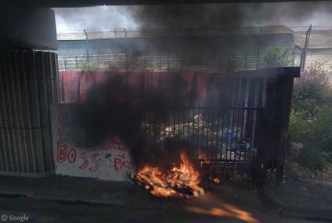
Here’s a small grass fire between Corning and Big Flats, NY.
View Placemark
Looks like it was set.
you shuld have more pictures on here of forest fires Im going somewhere else I needed this for a project due on the 10th today is the 6th bye!!!!!!!!!!
Fires near Somerset West in the Western Cape, South Africa.
hey has anyone heard of the phantom of the opera?” its me come see my show liv its the best ever.
The fire history of an area is very important to understand abd interpret Google Earth imagery, partcucularly in wildernis and remote areas. The reneneration of vegetaion after the fires can produce some spectacular satellite images. Have look at http://www.geostrategis.com/p_borealfires.htm
For example in the Northern Boreal and taiga ecoregions it is possible to recognize former burn areas sometines over one hundred years old by their unique shapes and vegetation succession.
http://www,geostrategis.com
for the previous post, the placemark is http://bbs.keyhole.com/ubb/download.php?Number=732973
I found this rather large forest fire in Columbia. Wasn’t sure what it was at first, but it was the smoke plume (which I took at first to be the trail of something) that caught my attention. here are the coords…. lat/lng:3.52.48.64,72.30.55.00 This fires smoke plume is visible from around 350 mi up. The coloration of the fire begins to be visible around 100 mi.
Check out Nortern Nigeria & the countries nearby, hundreds of forest fires on show.. scary
There is one I stumbled on at the Province of Irkutsk which you can see at these co-ordinates. I think its a forest fire anyhow,
56.98353,103.566742