The source of the Nile
Friday, 11th September 2009 by RobK
For centuries, the source of the mighty River Nile was shrouded in mystery in the dark heart of Africa. In Roman times, the phrase caput Nili quærere, "to search for the head of the Nile", was used as a metaphor for any foolish or impossible endeavour, and many explorers tried and failed to reach the fabled "Mountains of the Moon" from which the river emerged. Nowadays, thanks to Google, we can explore the whole river from our desktop, without even having to get dressed.
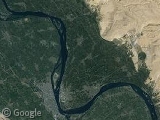
The Nile, of course, is not a single river. It is formed from two main tributaries, the White and Blue Niles, which join at Khartoum, in Sudan1
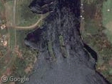
Although the Blue Nile is the shorter tributary, it contributes the majority of the water. Its source is in the highlands of Ethiopia, supposedly at a sacred spring near the town of Gish Abay. This site has been known to Europeans since a Spanish missionary, Pedro Páez, visited in 1618. The aerial imagery suggests, however, that the stream actually begins some way beyond the town.
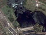
The White Nile is the longer branch, and so the source of this river is the true beginning of the Nile. In 1858, the explorer John Hanning Speke became the first European to see Lake Victoria, which he claimed to be the fabled source. Four years later he journeyed to Ripon Falls (now submerged by a dam), where the White Nile exits the lake.
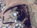
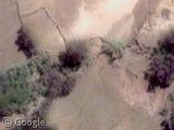
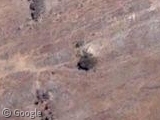
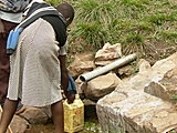
Although Lake Victoria is still often considered to be the source, the Nile can actually be traced back further, to the headwaters of the longest river flowing into the lake. It turns out that this is the Kagera River, and its remotest source was traced to the hills of Burundi by a German, Burckhard Waldecker, in 1934. His discovery is commemorated by a pyramid erected on the summit of Mount Kikizi, just above the true source... which, judging by this photograph, appears to be a small plastic pipe used by the locals for doing the washing up!
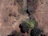
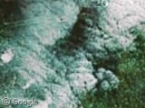
So does that settle the age-old question? Not quite. In 2006, a team of explorers from New Zealand and Britain travelled to what they claim is the most distant source, in the Nyungwe Forest in Rwanda. Unfortunately the imagery here is low-res, but you can see a photo of this source via this site (the expedition's official website appears to be dead).
Who's right? Without high-resolution imagery, it's hard to say. What is certain, though, is that the Burundian source is much further south than the one in Rwanda, so - in a straight line, at least - it's further from the mouth of the river. In theory, it ought to be possible to use Google Maps' Distance Measurement tool to measure the total length along each little stream extremely accurately. Any readers have a lot of time on their hands?
-
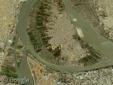
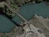
Right at the confluence of the rivers is Tuti Island, which until recently was an oasis of rural calm in the heart of the city - a situation that looks likely to change with the opening of this new suspension bridge. ↩︎
Without having to get dressed, huh? How did you know that naturists like me are reading the blog?
Surely it’s Burundi
I am from Burundi and you don’t really need to think to know that Burundi is south of rwanda so there is no question there. Also, I have been to the site in Bururi province , down Rutovu commune when I was young; the pyramide is made of stones and it’s cute and the stream is kept as natural as you can it’s actually mount “Gikizi” not Kikizi; about the question whether it’s a source of the Nile, well The stream empties in the Ruvyironza river, which then empties in the bigger Ruvuvu river; the ruvubu river then meets with the Nyabarongo of rwanda further north to create the famous or infamous Kagera which goes into Victoria Nyanza