South Sudan
Tuesday, 19th July 2011 by Ian Brown
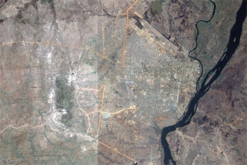
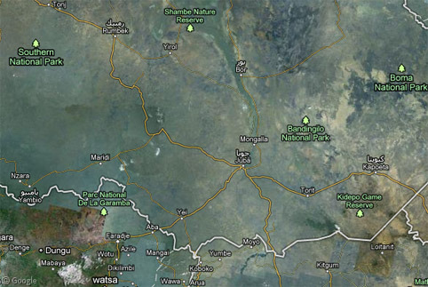
It's not every day that a new country is created, but that's what happened on July 9th 2011 when The Republic of South Sudan came into existence. The nation is so new that Google Maps doesn't yet show it. However, it encompasses much of the southern part of Sudan, approximately delineated on the current map by the light/dark transition between different sets of satellite images.1
After decades of civil war, the southern region of Sudan first became autonomous in 1972. This lasted only 11 years until a second civil war broke out. A peace settlement in 2005 saw autonomy restored. A referendum in early 2011 resulted in an overwhelming majority of people supporting the proposal to become an independent nation.
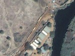
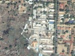
The capital of this new country is the southern city of Juba, which sits on the banks of the White Nile.
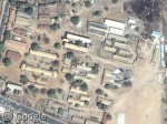
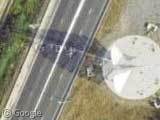
The independence celebrations took place at the memorial for John Garang, a rebel leader with the Sudan People's Liberation Army. He played a significant role in the peace declaration of January 2005, following which he became a Vice President of Sudan, and President of the Autonomous Government of South Sudan. However, he died in a helicopter crash only seven months later. Garang remains a popular figure in South Sudan.
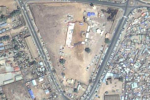
The new country's Legislative Assembly can be seen just to the north of the memorial.
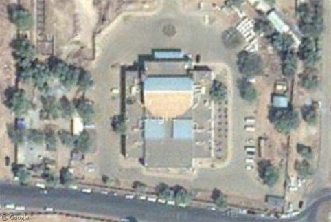
In many ways a city of contrasts, Juba has shockingly expensive tourist resorts along the river, a short distance from bases for relief agencies such as assorted United Nations programs, including the World Food Program and other groups such as Médecins Sans Frontières and USAID. Amidst the celebration of independence, it's impossible to forget that this is one of the poorest regions on the planet, with ongoing humanitarian crises within the country and others which surround it.
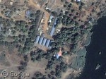
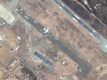
Juba also has a busy airport - where we can see many planes and helicopters, many no doubt used by the aid agencies - a university and a teaching hospital.
South Sudan's territory contains a number of existing national parks and game reserves, though I imagine only the most intrepid tourists are able to visit them.
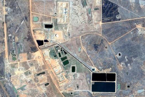
Unfortunately, the fledgling country also came into being with at least two pre-existing border disputes. The northern Abyei region is claimed by both sides of the divided country, and a second referendum will be held to determine the future of this area.
The dispute is the result of rich oil deposits in the region, with both sides desperately wanting the money that is generated by the industry. The Unity oilfield in Abyei is the starting point of the Greater Nile Oil Pipeline which runs through the northern country to Port Sudan.
In the south-east, the Ilemi Triangle is an area currently controlled by Kenya. The ongoing dispute over the region will be handled by the new South Sudanese government. Google Maps marks the disputed border in dashed lines.
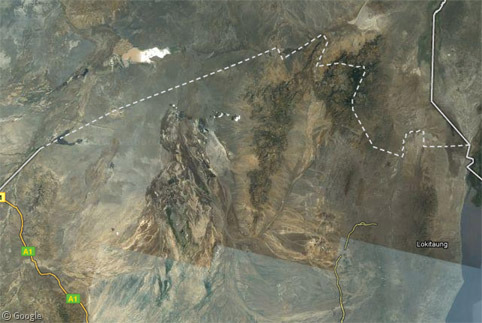
Google Earth marks disputed borders in red, and shows an additional area between Sudan and South Sudan in the north-west, near the border with the Central African Republic. I also found a news article that mentions a dispute with Uganda. Traditional tribal boundaries don't always fit well with national borders.
You can learn more about South Sudan through the new government's web site. More can also be found at Wikipedia, and the BBC has in-depth coverage.
-
As of July 18th, the new country is shown in Google Earth, so I imagine Google Maps will make the transition in the near future. ↩︎
About the author
Ian Brown lives in Ottawa, Canada, and spends his spare time perusing maps to find new routes to ride on his orange bicycle.
Sharing statistics
Share this site